
 October 28, 2025
Introduction: In this article, Gena Philibert-Ortega shows different types of cemetery maps that can help your family history research. Gena is a genealogist and author of the book “From the Family Kitchen.”
Finding a burial in a cemetery can be difficult or even impossible, especially in larger cemeteries that can encompass hundreds of acres. While not all cemeteries have maps, those that do can make finding that ancestral burial much easier.
What Is a Cemetery Map?
A map is defined as “a representation usually on a flat surface of the whole or a part of an area.”* While you may use various maps in your research, make sure to add cemetery maps to your research toolbox. Here’s an example:

Do all cemeteries have a map? The simple answer is no – but it’s also important to note that there is no clear-cut answer as to which cemeteries do have maps. The main purpose of a cemetery map is to find burials and space for burials (though it’s not the only reason – some cemeteries hold events and walking tours which can include a map). Cemeteries open for burials will often have a map, but that might not always be the case. Smaller cemeteries like family cemeteries may not have maps. Historic cemeteries that are not accepting burials may not have maps, except in cases where groups have gone in and mapped the cemetery.
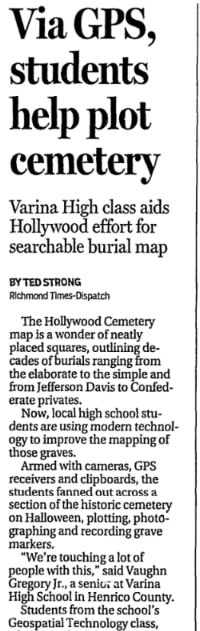
Types of Cemetery Maps
While the last few decades have shown a huge increase in volunteer efforts to document burials in cemeteries across the U.S., what I am referring to in this article are cemetery maps produced by the cemetery (or a cemetery group) which helps someone locate a burial or space to bury. These typically include land features and section numbers, not individual names. These maps are in paper or brochure form.
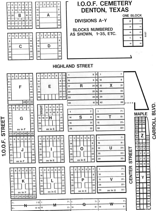
Here are some types of cemetery maps that you might encounter.
No Map: Not all cemeteries have a map and most likely those that don’t are older or small. They also may not accept burials. They may not have obvious signage for cemetery streets or sections.
Database or Software: Cemeteries can purchase specialized software to map their cemetery. These cemeteries are more “modern” and most likely continue to accept burials. Their cemetery mapping allows them to see who is buried and what spaces are open for burial. These cemeteries have an office and will conduct a lookup for you and mark it on a general map of the cemetery for your use.
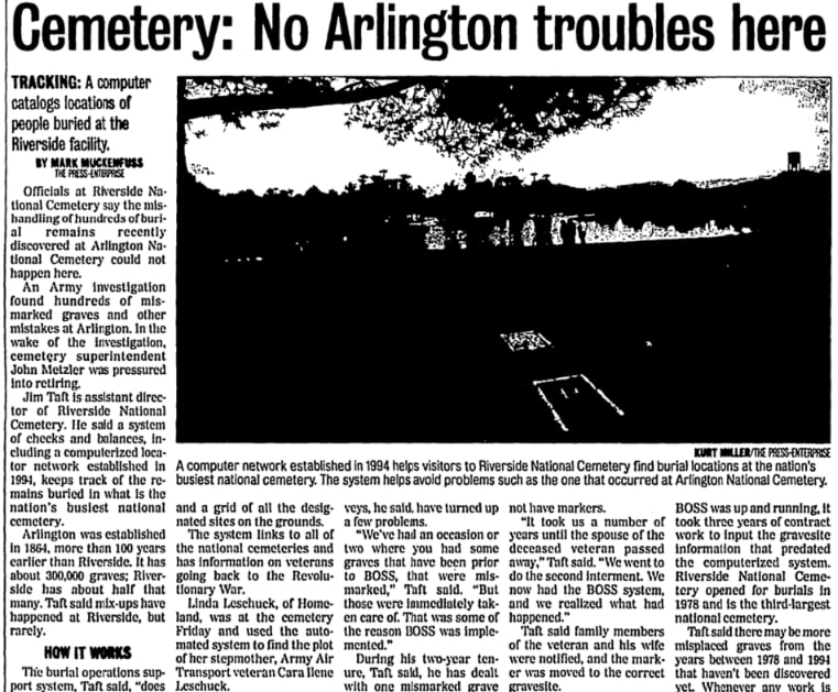
Map with Sections: These maps show the various sections of a cemetery but don’t show more detail, like individual burials (but they may show numbered plots). Sections might be listed alphabetically or numerically and include any number of plots. However, they may use a key to show famous burials or specific sections of interest, like a veterans’ section.
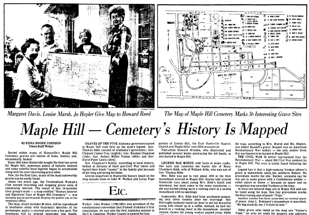
Map with Named Individual Graves: It’s more unlikely to find a map with each grave identified by name. If this happens it is usually a small or family cemetery. There are some larger maps that include names, like this example from the Library of Congress for the Spring Hill Cemetery in Cincinnati, Ohio, which has developed over 450 acres.

Satellite View Map: A cemetery map may use an online mapping system to create a satellite view map with an overlay of sections.
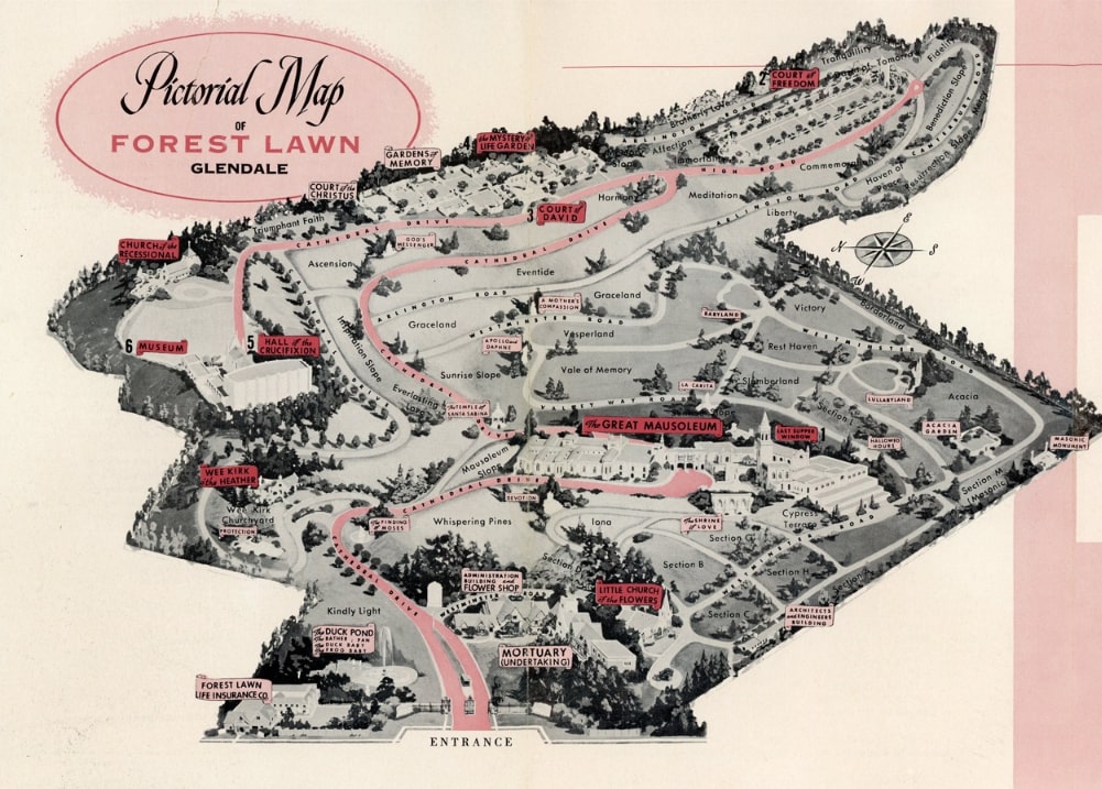
Picture Map: An image map of the overall cemetery grounds and landmarks. Not necessarily used to find burials. You find this type of map in a brochure or other marketing materials for a cemetery. You might also find this type of map as part of a self-walking tour brochure.
Before You Go, Check Out the Map!
Do your homework before visiting a cemetery. Do they have a website? If so, do they have a database or a map that can help you find that ancestral burial? If they do, take advantage of it because even with a map, burial places can be difficult to find.
Create a free account at GenealogyBank for 7 days to start your genealogy journey and discover the stories your ancestors left behind.
Note on the header image: Common Burying Ground and Island Cemetery in Newport, Rhode Island. Credit: Matt H. Wade; Wikimedia Commons.
* “Map,” Merriam-Webster https://www.merriam-webster.com/dictionary/map

I recently took a cemetery outline-style map and marked all of my family graves on it, 1 to 11, starting at the front of the cemetery. On the back of the map is a key to all the graves labeled there, so our family’s next generation will be able to find the grave sites easily. I have sent it to family members and plan to put it on my ancestry site.
Great idea Kathy! Thanks for sharing that.